
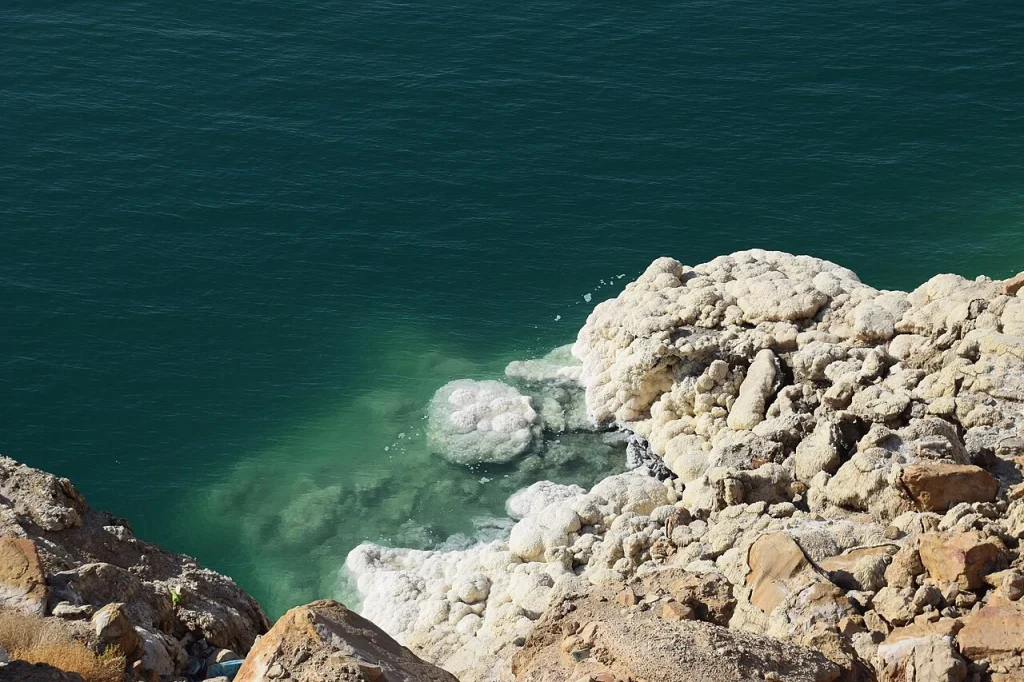

White deposits around a rock can make the water’s edge look sharply drawn. The broader lake view is often less definite: haze softens the distance, while a change in camera height alters how much shore is visible. Both kinds of photograph are useful, provided their limits remain clear.
The opening salt study was photographed on the Jordanian Dead Sea coast in March 2018. Its close framing records texture and colour. It does not identify a currently managed visitor entrance or provide a measurement of the present shoreline.

Jerusalem Boutique Tour from Tel Aviv
This tour is ranked the number 1 Experience in Israel. Our motto: don't be perfect, be honest. No souvenir shop if you don't want to. We leave about...

Travel to Bethlehem Half Day Guided Tour from Jerusalem
This Bethlehem half day tour from Jerusalem is designed to give travelers maximum insight, comfort, and value in a l...

Masada and the Dead Sea Day Trip from Jerusalem
Discover two of Israel's must-see sights on this memorable day trip from Jerusalem. You'll explore the legendary rui...

Travel To Bethlehem, Jericho & Jordan River - Tour From Jerusalem
Experience the ultimate Holy Land journey on our Bethlehem, Jericho & Jordan River Tour. Begin in Bethlehem, the bir...
Put the date beside the image
NASA Earth Observatory’s 2019 account describes falling water levels, increasing salinity and research into salt accumulating on the lakebed. Those observations belong to a dated scientific account. We do not repeat its historical elevation or annual-change figures as a measurement for today.
The important editorial distinction is between a process described by research and what a particular travel image can demonstrate. A salt crust is visible in our photograph. The rate of change in the whole basin is not. Use the scientific source for its own stated evidence and period, rather than trying to calculate change from unrelated holiday photographs.
Compare like with like
Before treating two images as a before-and-after pair, establish whether they show the same place from a comparable viewpoint. Camera height, lens, direction and crop can all change the impression of distance. Our horizon and material studies are selected for complementary scales; they are not a shoreline-monitoring series.
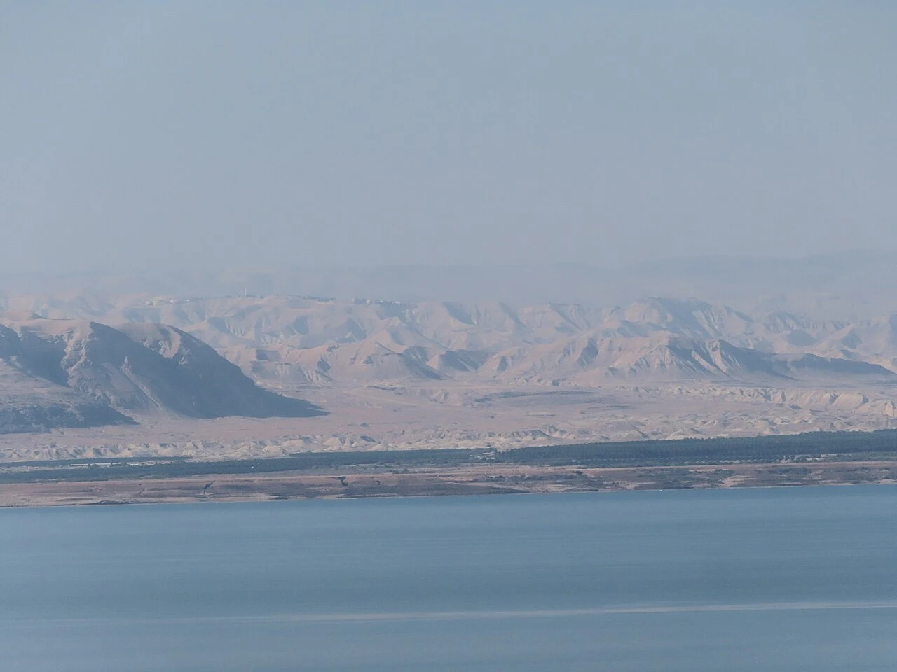

This November 2021 view was made from Jordan toward the distant mountains. It is a good study of atmospheric separation: water close to the camera, a narrow far shore, then layers of haze. It cannot settle where a particular visitor path or facility entrance lies today.
Let an archive remain an archive
.jpg)
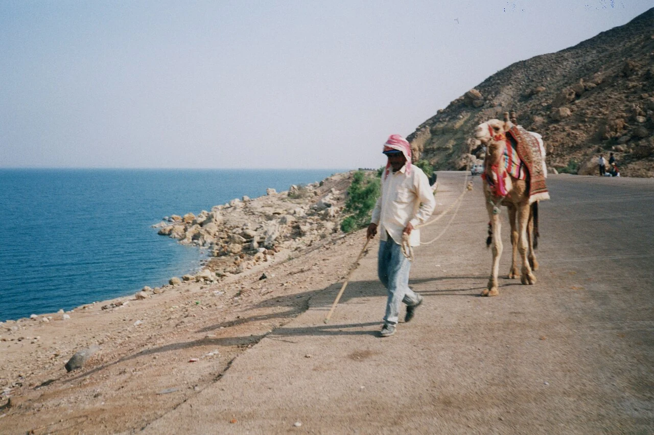
The 1995 photograph from Jordan is included to make time visible in the guide. A person, camel, road and lake share the frame. We do not present the road edge as a current route, the person as a host, or the camel as a service you can book. The photograph has value as a documented earlier view without becoming a modern offer.
When looking back through your own pictures, retain the original date and place notes. A concise caption can prevent a beautiful image from being mistaken for current practical advice. If the viewpoint is uncertain, say so rather than filling the gap with a plausible place name.
Keep mineral interest separate from health claims
Salt patterns and the lake’s unusual water are subjects for observation and science. This publication does not make healing or treatment claims. A photograph of mineral deposits does not provide evidence about a medical benefit, and a travel comparison is not a source of personal health advice.
Use a present-day source for a present-day decision
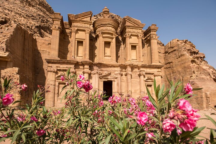
3-Day Petra and Wadi Rum Tour from Jerusalem
This fully guided 3 day tour from Jerusalem will take you through Jordan’s extraordinary history and past some of its most beautiful natural wonde...

Jerusalem: Dual Narrative Tour
Two Tour Guides, One City. Featured by National Geographic and TED, the Dual Narrative Tour (TM) is a multi-pers...

2-Day Petra Tour from Jerusalem
Explore the wonders of Jordan on this two day guided tour from Jerusalem. Discover the world wonder of Petra - stunn...

In the Footsteps of Jesus - Private Tour of Nazareth & the Sea of Galilee
To get a truly deep insight of the Holyland choose this private VIP tour with the most passionate, knowledgeable and...
For an actual visit, return to the named shore and the organization responsible for the location or service. A map or old image may help you ask a better question, but it cannot confirm current access. Our shore-planning guide keeps the practical details together: place, meeting point, inclusions and return arrangements.